Wednesday, April 2, 2014

Tri Cities Loop by Bike

The Tri Cities loop is part of the Trans Canada Trail but be forewarned - it is definitely NOT for road bikes. There is a lot of variety - paved trail, roads, crushed gravel, forest trail and dyke riding as you wind your way along this route connecting Coquitlam, Port Moody, and Port Coquitlam.  Not a great choice if you are looking for speed and distance, but if you are interested in amazing views and exploring, this is a winner!

Salmon stream along Hoy Creek Trail

As we step up our training for our West Coast tour, we have been trying to get in a few longer rides on the weekend.  The forecast was good, so we began our trek to the trailhead at Lafarge Lake in Coquitlam Centre park.  Despite a good forecast, the day turned out to be quite "humid"  We were glad to have come equipped with our heavy duty rain gear.

Cue sheet a little worse for wear due to the "humidity"
The route had lots of variety!  We rode past Rocky Point Park in Port Moody, Barnet Marine Park and enjoyed city riding along the Burnaby Urban trail and the Central Valley Greenway.  Near the end of the ride we enjoyed a section in Colony Farm Regional Park before making our way back along the Poco Traboulay Trail.

Forests come to life - spring is in the air

Bears also coming to life!  

Section along the Trans Canada Trail after leaving Rocky Point

Bummer....we were climbing up!

I think it is clearing up!

Are you sure this is the right trail?

Giggle of the Day

When I found this great route on trailsbc.ca, I excitedly shared it with Rob.  He took a look, agreed that it looked both amazing and challenging and promptly declared, "we are going to get lost".....and we did!  Not once, not twice, but numerous times.  On the bright side we discovered a fabulous kayak launch site at Barnett marine park.


We have also been playing with a web app called stravos.  This tool allows us to time and map our rides  through our cell phone and provides data on speeds, elevations etc. etc.  Today we decided to join the 21st century and go high tech for our ride.  No maps, no compasses...just all the technology an Iphone can provide.  Everything was great until the four hour 27 minute mark...after following a wonderful trail along river and through woods we arrived in a little town called Maillardville and realized we had no idea where we were and also realized we weren't even in the right city.  Not to worry, our handy iphone and stravos would set us straight.  A great plan...except the cell phone battery was dead.  No worries, we had marked our parking spot with a gps tag....our only problem...the gps tag was stored in the dead cell phone.  We went old school and asked for directions...they were sketchy at best, but definitely better than what our iphone was offering.

Here is our Stravos map.....


Breathtaking blossoms along the way.

Map and route tips:

Our finished map!

Tuesday, March 25, 2014

Ladner Loop by Bike

The Ladner Loop is a perfect ride for those who may be a little out of shape after just getting back on their bikes after a winter of rain.  It is flat, REALLY FLAT, scenic and includes a lot of trail riding along the dykes.

View from the dyke
The views are spectacular, and you are often treated to some great bird watching as you travel in the Important Bird Area near Roberts Bank.


We had another almost perfect day.  The sun was out, there was no wind, and did I mention the route was FLAT - really FLAT?  The area is almost surreal as you are so close to Vancouver, yet you feel miles away from the big city as you pedal through acres of farmland and along the dykes.  (lots of great farmer's markets to stop at when in season)


The view of the Tsawwassen Ferry Terminal and the Roberts Bank Terminal brings you back to reality.  Roberts Bank is huge and the number of trains coming and going is mind boggling!

Cargo ships loading at Roberts Bank
 "The Roberts Bank Rail Corridor consists mostly of single rail track and currently carries up to 18 trains per day, ranging from 6,000 to 9,500 feet in length. The volume of train traffic is expected to increase to 28–38 trains per day by 2021, and some train lengths are expected to increase up to 12,000 feet."  

Roberts Bank rail corridor
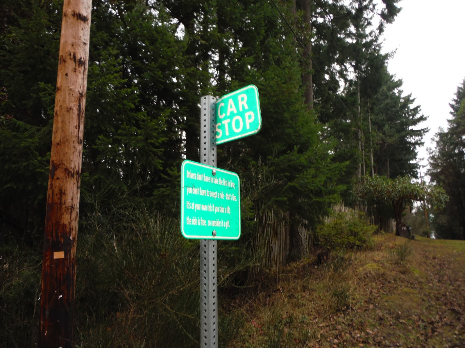
We had to hop off our bikes and cross several train tracks to complete the loop. We stopped for several minutes to watch the comings and goings of this very, busy terminal.


After leaving Roberts Bank, we cycled on through Tsawwassen and enjoyed a great ride along the Mud Bay trail.


 It was a beehive of activity as joggers, cyclists, walkers, birders took to the trails in order to enjoy a sunny spring day.


Giggle of the day: 

We recently discovered a  group called The Slow Bicycle Movement.  Curious, we investigated further to learn more about the criteria for joining the group and becoming a card carrying member.  Members must agree to:

  • meander
  • stop
  • look
  • eat
  • take pictures
  • laugh
  • chat

The description fits us perfectly!  We giggled throughout the entire Ladner Loop every time we hopped off to meander, look, EAT, chat......you get the picture!

Map and route tips:

The loop begins at Deas Island Regional Park and follows the Millenium Trail under highway 99 to Ladner.  From Ladner, follow the Fraser River out to Brunswick Point and then continue on to Tsawwassen and Mud Bay and then a quick loop back.


Sunday, February 16, 2014

Bike Centennial Trail Washington State

It was time to be back on the bikes and this weekend we decided to head south to the Centennial Trail in Washington State.  The trail is 29 miles long and runs from just north of Bryant to the City of Snohomish.  Another rails to trails initiative the trail is designed for walkers, runners, cyclists and horseback riding...and we saw them all.  A few brave in line skaters were even braving the rain!

Trail access at Arlington
We decided to jump on the trail at Arlington.  There are many access points to the trail, so it is easy to hop on and off to explore the many local shops, parks and family attractions.  Arlington is a wonderful little town and definitely a blast from the past.  American flags proudly flying and good old small town charm everywhere!  Of course, Seahawk pride and evidence of the 12th man is also everywhere!

Go Hawks

Rob will tell you that no day trip is a success unless you begin your day in the Ma and Pa diner.  And so, without a second thought we found ourselves enjoying omelettes at the BlueBird Cafe...family owned since 1958.

Just outside of Arlington the trail is under construction, so riders are forced to ride in traffic for a short distance.  We found the drivers to be very considerate, but as always were grateful to be back on designated trail away from traffic and noise.  The trail featured many scenic views and rest points.  We simply can't recommend this trail enough.  It is an easy ride, well maintained, great access points and lots of services along the entire length of the trail.  Truly a gem!


A view of the lake

Scenic boardwalk to the lake

Unfortunately we have not been on our bikes this winter as much as we would like so we must confess that we were not in the best shape for a 60 mile jaunt.  (Mind willing - body ain't!)  As the rain and wind picked up for the return journey our legs began to give out.  It really was a test, both mentally and physically to get back to the trail head.  We were both fighting leg cramps and bike butt and at times had to get off and walk.  On the bright side, the weather had turned so nasty that there was no one left on the trail to witness our walk of shame.

I think it is clearing up!
We trudged along, and were absolutely thrilled to return to our van at the Trail head parking lot.  We made a promise to ourselves to pick up our work-out schedule and return to the Centennial Trail in the summer....rumour has it the ice cream stores along the route are amazing!

Giggle of the Day:

One of the joys of rails to trails routes is it usually means FLAT, and generally the Centennial Trail is a very easy ride.  However, there is one section featuring a slow steady climb - 642 feet.  On the bright side, when you reach the top of the hill, you are made honourary members of the Robert M. Culpeper Blistering Saddles Cycling Team!

Not really a team you want to join

Free Library - now that is community in action!

...for those feeling a little thirsty


Map and Route Tips:

Centennial Trail

http://www.bikely.com/maps/bike-path/Centennial-Trail-Snohomish-County


Snow Shoe Mount Baker - Washington State

Many boast that one of the joys of living in the lower mainland area of British Columbia means that in the winter you have the opportunity to ski and play golf all in the same day.  Living here in the rain forest means that one often "forgets" about winter, as it never really feels like it.  (of course, our reference for defining winter is growing up in Alberta and Manitoba)  Well, this weekend we both craved WINTER.  Maybe the long hours on the couch watching our athletes compete in Sochi drew us to the mountains or maybe our recent cold snap reminded us of winter.  Whatever, the reason we decided to pack up our gear and head to Mount Baker in Washington State.


Creative Fencing at Glacier Ski Rentals

Yep...we were going in the right direction!

The only way to describe Baker is MAJESTIC.  The glacier covered peaks of Baker lie within Snoqualmie National Forest.   The following description is from the USA Forest Service website:


The most prominent feature of the Mt. Baker Wilderness  is the 10,781 foot [3,286 meters] active volcano from which the wilderness takes its name. Mt. Baker is the northernmost volcano in the United States Cascade Range located 15 miles south of the Canadian border. The mountain is perpetually snow-capped and mantled with an extensive network of creeping glaciers. Baker's summit, called Grant Peak, is actually a 1,300-foot-deep mound of ice, which hides a massive volcanic crater. Directly to the south is a smaller and younger crater, which is currently a center of periodic steam eruptions. Sherman Crater is only partially ice-filled and the rim's pinnacle, known as Sherman Peak, reaches an elevation of approximately 10,160 feet [3,097 meters].

Leaving the ski are boundary for the back country

We decided to start our day trip from the Mount Baker ski area.  We arrived to a full parking lot!  It was a winter wonderland and we were thrilled to see families skiing, snow-shoeing and sledding.  We made our way to the upper parking lot area, found the road up the mountain and entered the back country.  The snow was absolutely fantastic...quite a surprise as we had seen very little snow as we made our way up the mountain.  The weather conditions were not great, the light was flat and there was definitely a storm moving in.  We decided to not venture too far and chose to head to Artist Ridge in the Heather Meadows area.  This trail is well known for its many viewpoints - but today, was not the day to capture a view.  Visibility was really poor.  Despite the poor visibility we enjoyed bumping in to numerous winter enthusiasts and many snow hounds in search of fresh powder in the back country.  


Giggle of the Day:

We had a good giggle as we took note of how equipment has changed......


Map and Route tips:

Monday, January 27, 2014

Mayne Island by Bike

The Gulf Islands are one of British Columbia's  best kept secrets.  Just a short ferry ride from the mainland, there is so much to explore and discover and cycling is the way to do it.

Waiting to board the ferry at Tsawwassen
Nothing beats the January blahs better than a weekend getaway to Mayne Island.  Our friends (who shall remain nameless to protect the innocent) invited us for a weekend at their cottage.  We began early in the morning cycling to the Tsawwassen ferry terminal.  It was a spooky ride as the fog was dense.  You always feel so vulnerable on your bike while riding in the fog, yet at the same time your senses seem to come alive.  We rode cautiously, listening to the call of the eagles and watching everything come to life.  The air was crisp and cool and as the fog began to lift we were treated to a wonderful sunrise.  It felt so good to be back on the bikes....mindlessly pedalling through the fog!

The ferry makes a quick stop at Galiano Island (another great bike destination) and then proceeds on to Mayne Island.  As you approach the dock at Mayne Island you leave the hustle and bustle of the city behind you and either consciously or unconsciously begin to adapt to "Island time" The cycling on Mayne is wonderful...although be prepared for a few hills and cycle in single file as there are no shoulders.  Having said that, the drivers are thoughtful and give plenty of room when passing.


Beautiful views are plentiful


Snowdrops remind us that spring is around the corner

We cycled from the ferry to the cottage...which is truly a bit of heaven on earth.  The cottage reflects the hosts...warm & friendly...like a big hug.  It features panoramic ocean views - in fact, you can quickly lose track of time and also the will to move as you sit by the wood burning stove and gaze at the ocean.


There is much to do on Mayne - beautiful parks including one of the Gulf Islands National Park Reserves at Bennet Bay, beach combing, artists galleries and to our surprise a Japanese Garden.  This weekend we chose to hike to  the spectacular viewpoint on Mount Parke.  We were thrilled at the panoramic view, yet couldn't stay for long as we were losing daylight.

Mayne residents enjoying an all you can eat lunch buffet


The weekend went all too quickly and we left feeling rejuvenated and ready to return to explore more of the Island...next time by kayak?

Giggle of the day:

The weekend was full of laughter and great conversation.  Giggles were plentiful.  Here are a few:

While in Minor's Bay we decided to pop in to the local grocery store to pick up some lunch meat.  As we waited for service, a friendly voice came on the loud speaker and said,  "Shelly to the deli."  We burst in to laughter and thanked Shelly for the giggle and for the shaved ham...of course!

Car stops - The island features numerous car stops....a sign of community and of days gone by.  The signage both inspires and amuses!  Here's the scoop:


You are welcome to use our 25 Mayne Island Car Stops. This is free, voluntary, alternative transportation that is environmentally and community-friendly. We encourage drivers to share the ride, reducing fuel consumption and our ecological footprint. We encourage pedestrians who need a lift — including those arriving by ferry or boat — to try waiting at a Car Stop, and be open to the generosity of drivers. (Unlike a bus, there's no regular schedule; like a bus, you trust the driver.)
Car Stops signs are green and white road signs located at pullouts all around Mayne. They indicate the locations where drivers may expect to see passengers seeking a ride. They are two-way stops, so if you're standing there, indicate with your hand which way you're heading, and if you cross the street, be careful.

THE RULES:
  • Drivers don't have to take the first in line;
  • you don't have to accept a ride - that's fine.
  • It's at your own risk if you take a lift,
  • the ride is free, so consider it a gift.
CAR STOP - 

Last, but not least, as we rode back to the ferry dock to begin the trip home, we passed numerous Islanders on foot, with backpacks, suitcases, dollies all trudging along the main road back to the ferry.  It tickled us as we passed young and old on the "Mayne Island Pilgrimage."


Mayne Island "pilgrams" wait to disembark ... until we ride again!

Map and Route Tips:

BC Ferries - Schedules and Route information

Monday, December 9, 2013

Ski Whistler and Blackcomb, BC

They say a picture is worth a thousand words......


Upper Alpine

Sporting the Onesie!

Incredible views from the Peak to Peak Gondola

Shout out to Camp Jubilee....we wore our toques proudly!

Downloading....back to the Village for Apres Ski at the Garabaldi Lift Co.

Christmas in the Village

Steep and Deep?

Shannon Falls

Giggle of the Day

I know you will find it hard to believe (or maybe you won't!), but while skiing on Saturday morning we made a wrong turn off the Solar Coaster Express chair and found ourselves on the far side of Blackcomb Mountain.  Being early in the season, several lifts and runs were closed so we were feeling a little anxious that we may find ourselves at the bottom of a run with a long hike back up to a chair.  To our delight, we rounded a bend only to descend upon the BRAND NEW Crystal Ridge Express chair....and it was opening day!  We were greeted by live music, an open ceremony and free Kit Kats!  This is the first new chair to be opened on the mountain since 1994 and we were one of the first to ski it....talk about a wrong turn that went right!

To Get There;